Map of the World, Translated
Bankoku yakuzu 萬國譯圖
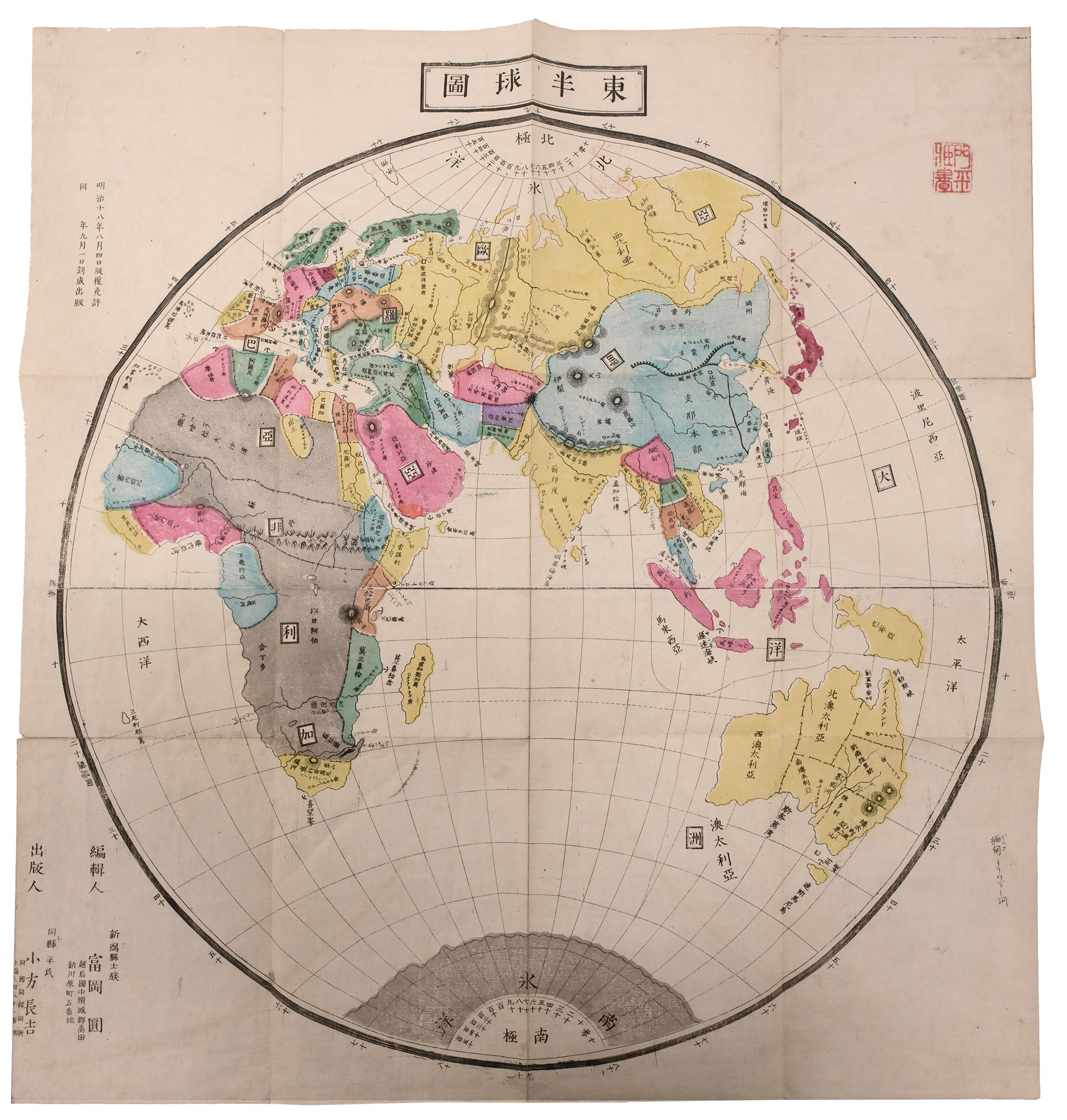
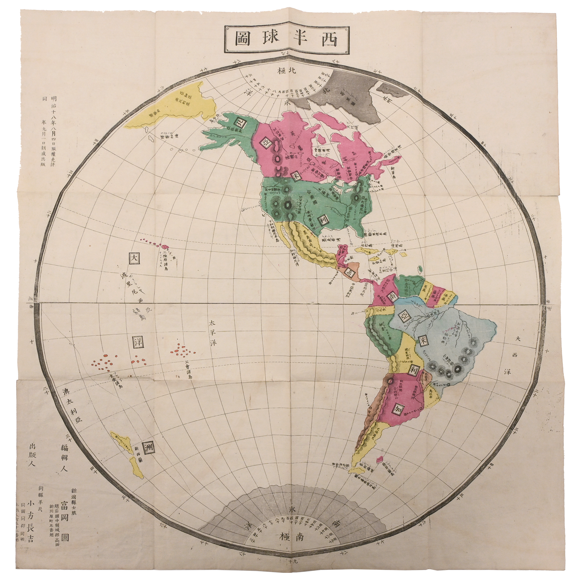
The Map of the World, Translated (Bankoku yakuzu 萬國譯圖), is a pair of maps (each measuring 49 cm × 52 cm) representing the world. It was published by Ogata Chōkichi 大方長吉 and edited by Tomioka (Maru? Madoka?) 富岡圓, who is listed as a “shizoku 士族 of Niigata Prefecture 新潟県士族,” the term shizoku referring to those formerly of the warrior class before the Meiji Restoration. The publisher has a notation by his name that says “commoner of the same prefecture 同県平民.” The maps, created in 1885, are both in color and printed on paper. The world is shown as a globe using Western-style navigational lines. Some limited geographic and noteworthy features, such as major mountain ranges at the Great Wall of China, are marked on the maps.
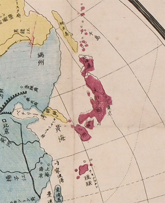
At the time of this map’s creation in 1885, the land formerly known as Ezo had already been colonized and annexed in 1869. In the map, Hokkaido is represented colored in pink to indicate it is part of Japan along with the other main islands. Sakhalin Island (shown as Karafuto Island 樺太島), which was ceded to Russia in 1875, is in yellow as an external territory, and the Kuril Islands (listed as Chishima 千島) and Ryukyu in the south are in red as part of Japan.