Mapping the North


UCLA holds a significant collection of early modern maps. This section of the site includes an overview of Japanese cartography in relation to the Hokkaido region and relevant maps from UCLA’s archives. The maps on this page allow insights into how Japanese artists and administrators thought about identity, borders, and activities within and across the North.

A segment of a printed map showing part of Ezo.

Cartography & the North in Early Modern Japan

An introduction to cartographic practices.

A segment of a printed map showing Ezo as a warped shape.

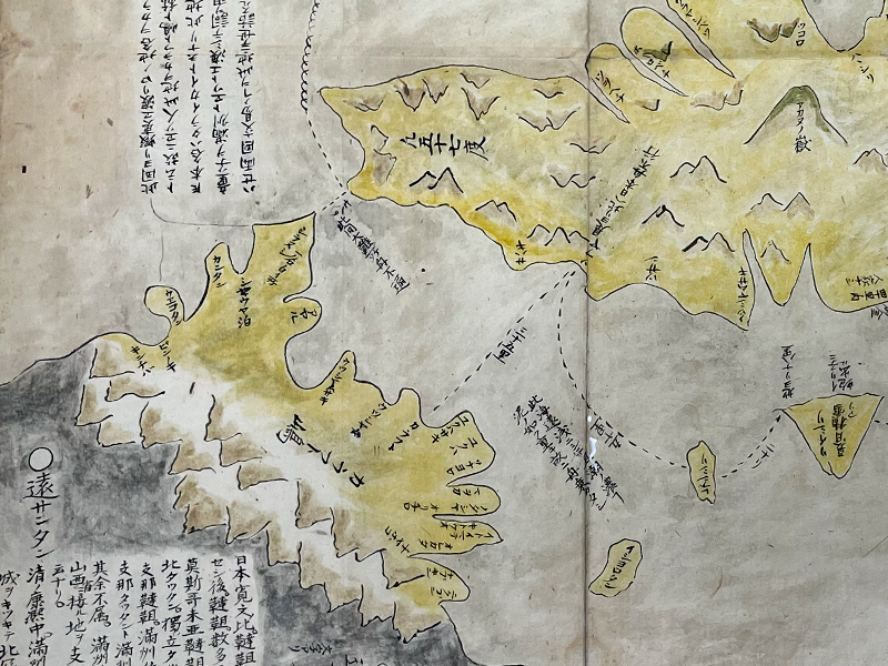
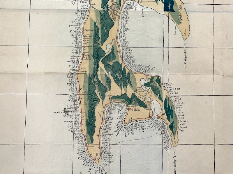
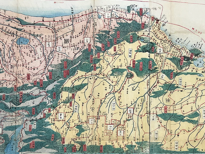
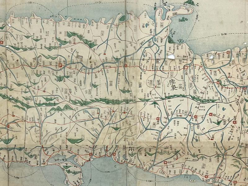
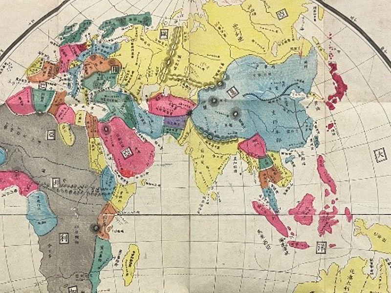
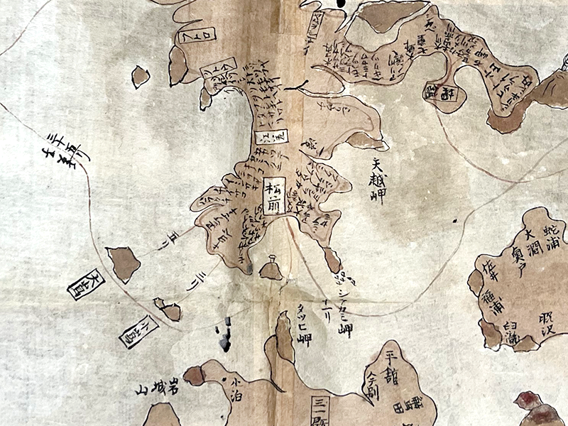
Map of the Three Lands Surrounding Japan

大日本接壤三國之全圖

A segment of a handpainted map showing part of Hokkaido in brown wash.

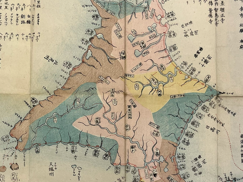
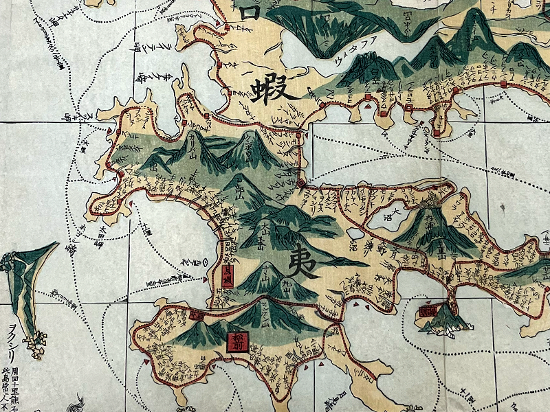
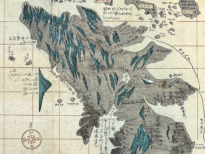
Hokkaidō and its Surroundings

北海道とその周辺

A segment of a handpainted map showing land masses in yellow and gray.

Complete Illustration of the Land of Ezo

蝦夷国全図

A segment of a printed map showing the tip of Sakhalin.

Complete Map of Ezo's Borders

蝦夷闔境輿地全圖

A segment of a printed map showing land topography in green and yellow with labels.

Complete Map of Counties in Mutsu and Dewa

陸奥出羽国郡行程全図

A segment of a printed map showing an overhead view of a province with labels.

Simplified Map of Three Provinces: Mutsu, Dewa, Echigo (Including Sado Island)

奥羽越三国略図附佐渡

A segment of a printed map showing Hokkaido in multicolors.

Detailed Provincial County Map of Hokkaidō

北海道国郡明細図

A segment of a printed map showing the globe.

Map of the World, Translated

萬國譯圖